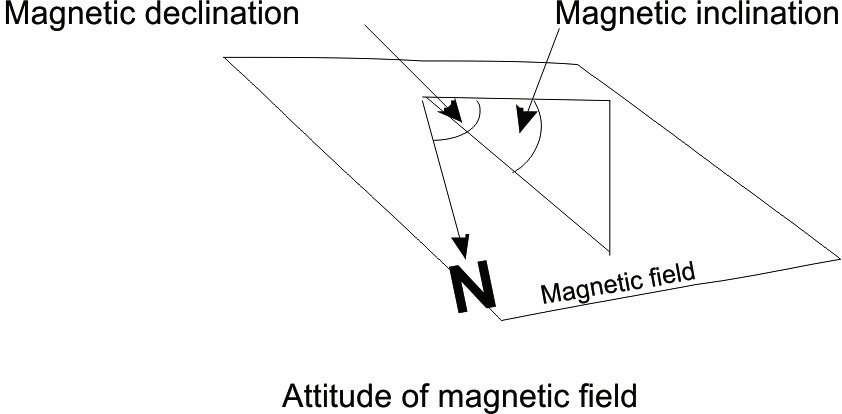
 The angle between True North and the projection of the magnetic field vector to the horizontal plane, it varies from location to location and through time. It is measured positive east and negative west. Along with magnetic declination this defines the orientation of the Earth’s magnetic field at any given location. This is required to correct any data with an assigned magnetic orientation (e.g. magnetic single or multishot surveys) and allows the correct presentation of such data in relation to true north.
Borehole image and dipmeter tools need to be oriented in space. Orientation is completed by measuring the Earth’s magnetic field (of known orientation) using three mutually perpendicular magnetometers to record the Earth’s magnetic field relative to the tool axis. Tool orientation is then calculated.
See also magnetic inclination and magnetic north.
