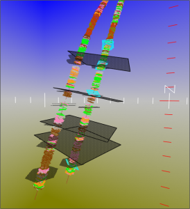
 Evaluation of geological models against borehole image structural information.
- Generation of structural cross-sections.
- Mapping of horizons based on borehole-derived structure.
- Advanced curvature analysis of key surfaces.
- Inter-well correlation of structural styles and features.
- Geometrical modelling of faults cut in multiple well sections.
- Comparison of dip data to seismic, both in cross-section and plan views.
